October 11th, 2026
I left Longmont, Colorado on October 2nd, moving south on Interstate 25. My day’s destination was Trinidad Lake State Park near the border with New Mexico. After passing through the Denver area, Pikes Peak was in view, covered already with snow above tree line. As I moved on south, the Monte de Cristo Range appeared, also with a coating of snow. I kept glancing to the right to see those white peaks, as I knew it would be the last snow capped peaks I would see for months.
After leaving Trinidad, I continued on into New Mexico. In the past, I usually stopped to camp a few days at Bandelier National Monument, but to change things up, I decide to spend 4 nights on Cochiti Reservoir. My destination was Tetilla Peak Recreation Area, a little to the west of Santa Fe. The campground wasn’t too exciting. It looked to have seen better years.
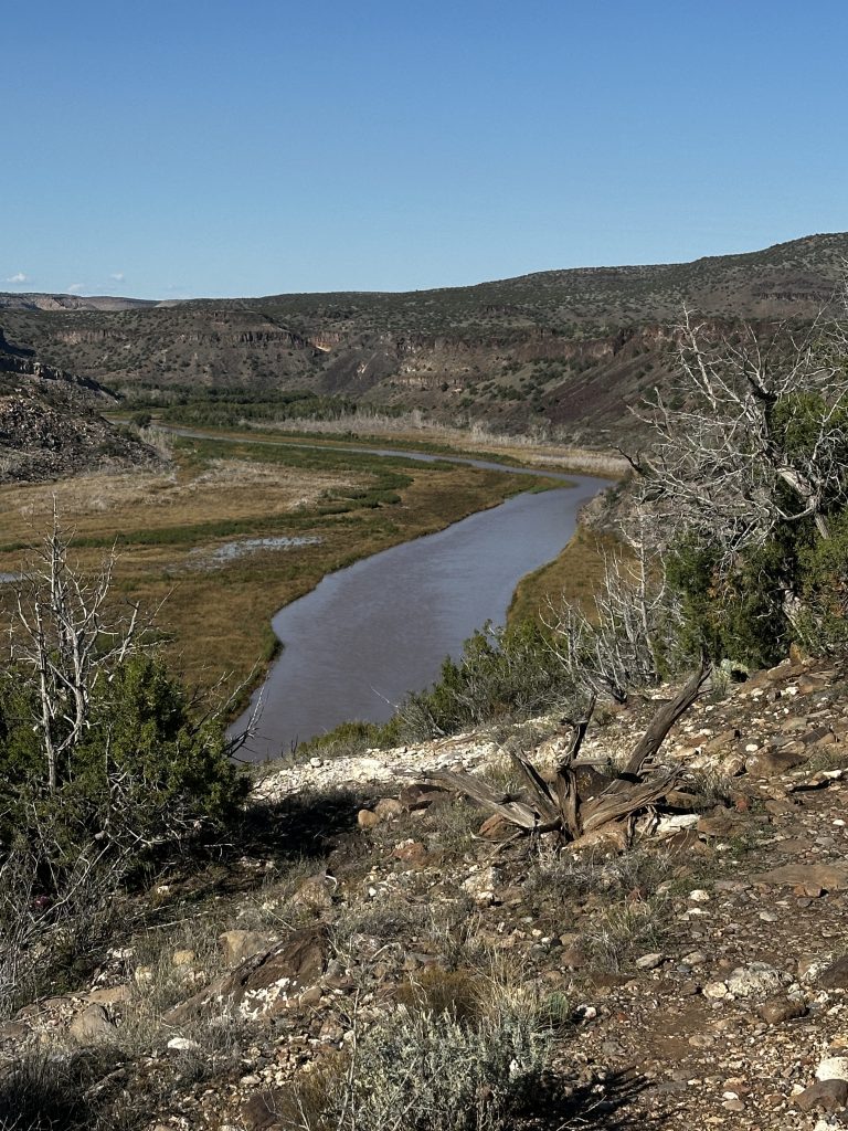
While at Tetilla, I needed to make a decision about my route. These decisions about routes to take and campsites to stay sometimes take quite a bit of thought. In this case, my original plan was to backtrack to Yuma by way of I-25 and I-10 through southern New Mexico and Arizona. That would be the warm way to go, possibly even hot. I was familiar with that route and likely camping destinations. However, in the past few days, hurricane Polo had tracked across the Baja Peninsula and right into southern New Mexico. It had dumped inches of rain, leading to flash floods. At a couple of points, even I-25 had been closed for a few hours while water drained. I decided to turn west onto I-40 and head across northern Arizona. Leaving Cochiti in the dark on a chilly morning, I got back on to I-25, heading for Albuquerque. As I approached I spotted 30-40 hot air balloons rising over the grounds where they had just held the Albuquerque Hot Air Balloon Fiesta.
Since I still had many days to get to Yuma, I decided to turn north off of I-40 at Gallup and go up to visit Canyon de Chelly National Monument, a place I had never seen other than in photographs. I stopped at the Visitor Center and then turned into the nearby private campground to reserve 3 nights of dry camping. The grounds were nice and sites were flat. I set up and then drove along the South Rim Road to capture a few photographs in the evening light. At one overlook, I sat through a quick thunderstorm which was completed by a double rainbow over the canyon.
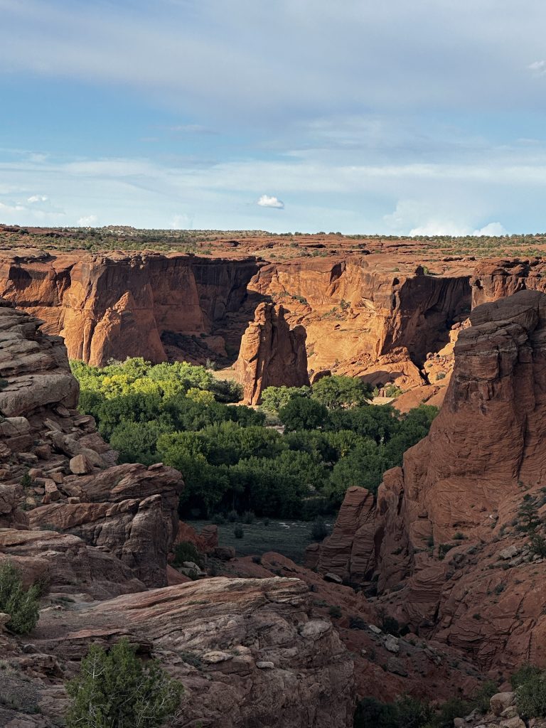
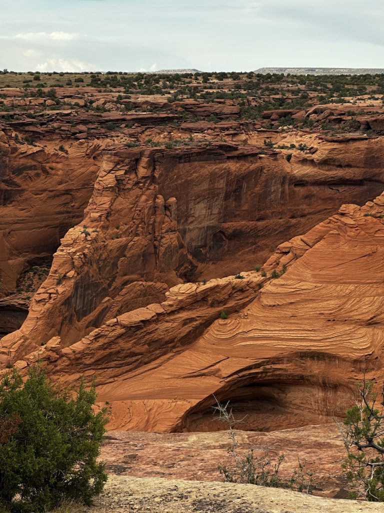
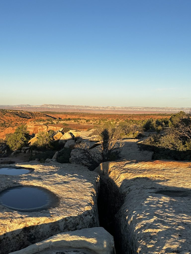
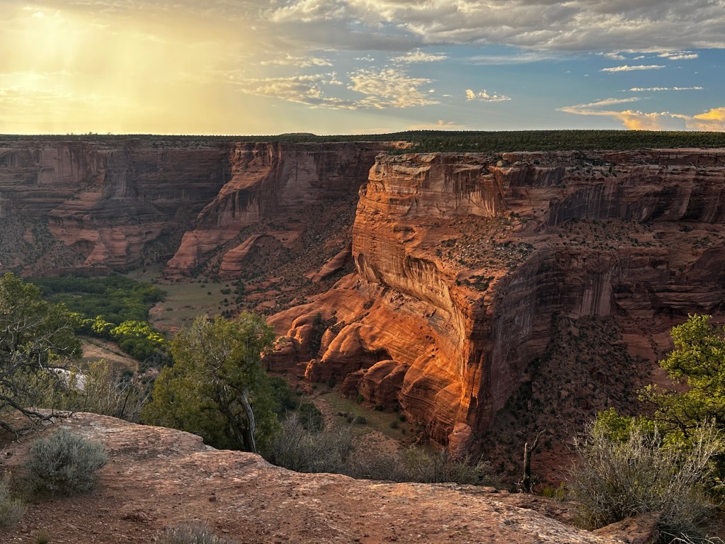
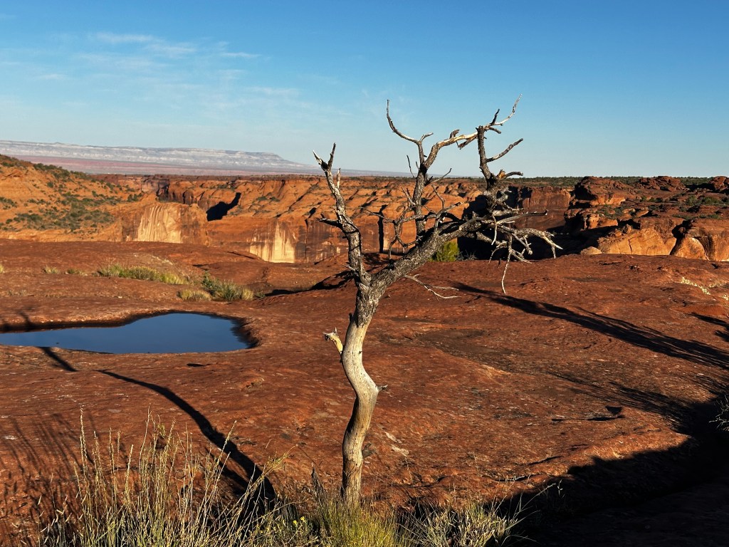
The red rock canyon walls were beautiful in the evening light and also the next mornings dawn sunlight. As we are now past Labor Day, there were no crowds. Just a few tourists and a handful of artists creating oil paintings. I talked for a while with a Navajo gentleman who taught me proper pronunciations of some of the area place names.
As I was leaving the campground on Sunday morning, there was a large parking area filled with cars. A banner was titled “CDC Ultra”. They were holding an annual ultra marathon run of 55k along the floor of the canyon.
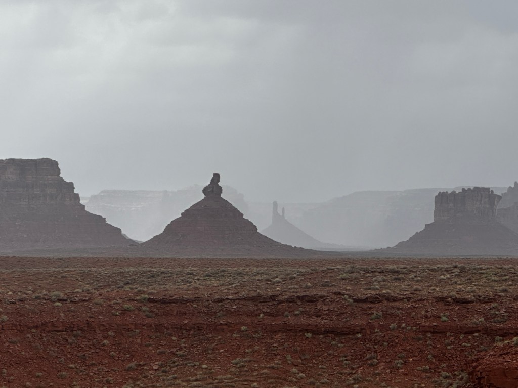
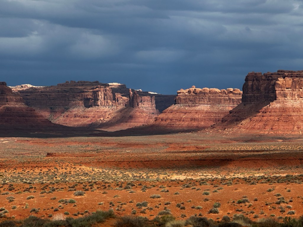
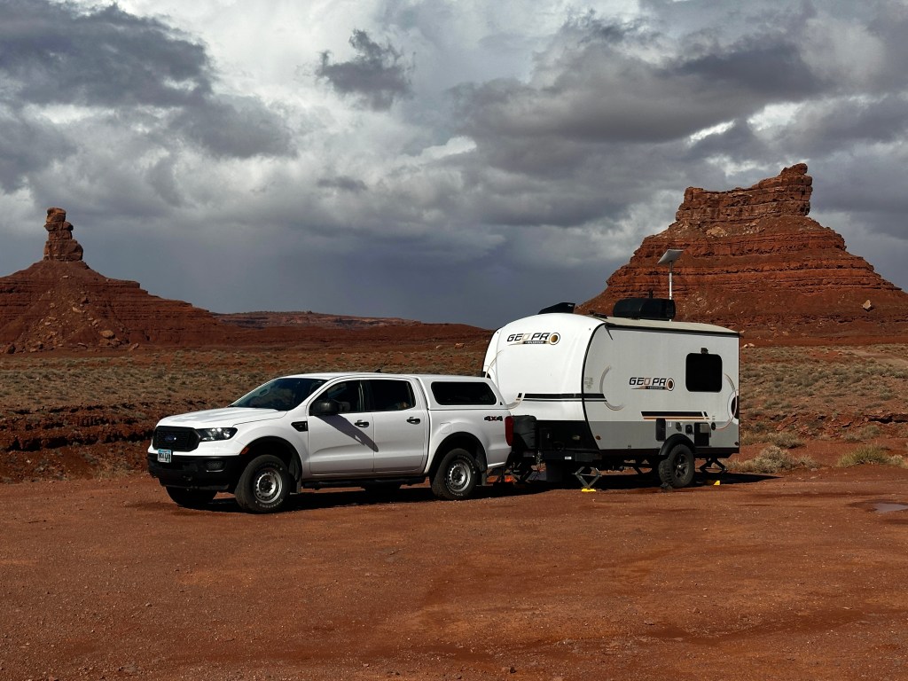
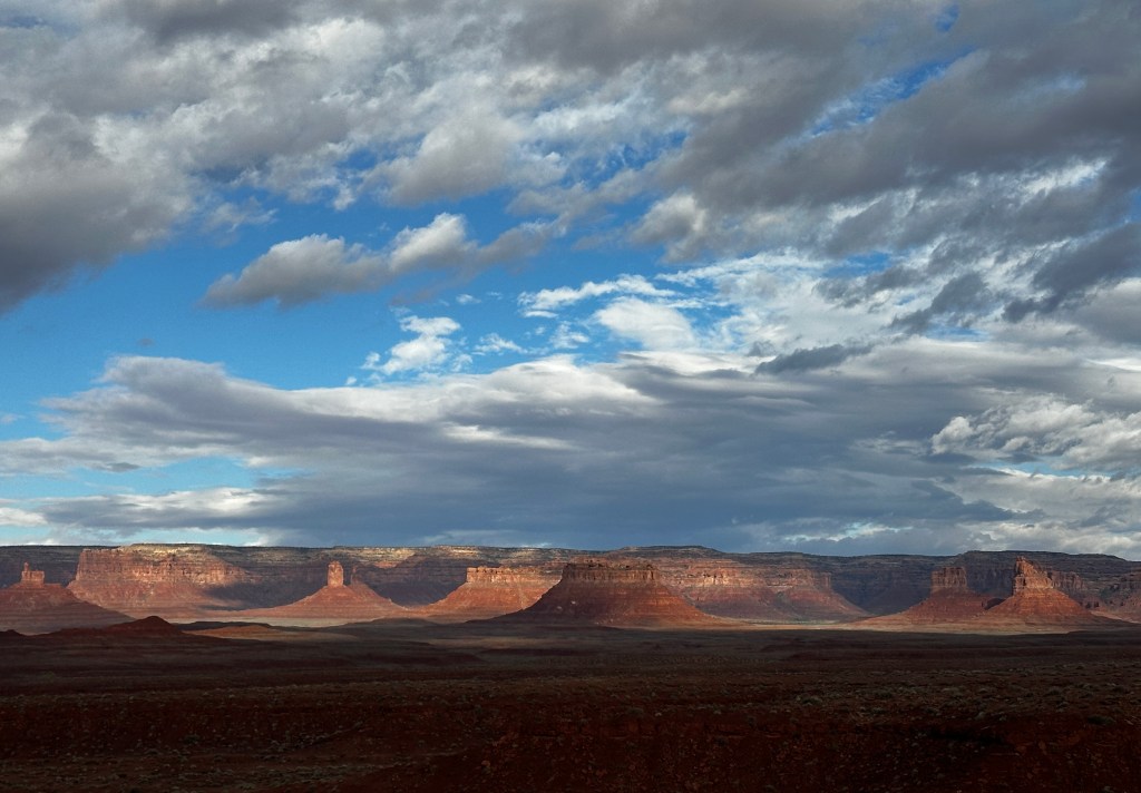
Another hurricane looks to be approaching southern California, so, I continued north across the border into Utah, heading for Valley of the Gods National Monument. I found a dispersed site along the monument road that overlooked a large valley facing the sheer cliffs, rock walls, and towers of red rock. For the next days, I was treated to ever changing views of the landscape as the sun and weather traversed the area. While there, Pacific hurricane Rachel was approaching from southern California. Rain squalls passed through often. Wind gusts of 30-40 miles per hour occurred on a couple of days, leaving it unsafe to tow a trailer.
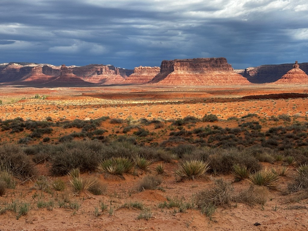
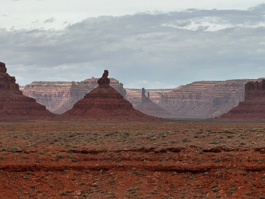
If you come to this area, be aware, it is remote. There are no cities nearby, just small towns and villages spaced far apart. Plan your fuel well. If you have a heart attack or a stroke, you are probably a goner. The main highway through the area is Route 163. That should be familiar, as it is the iconic highway from the movie Forest Gump, where he stops running and decides to go home. It is also part of the Code Talker Highway, named after the World War II Navajo Indians who were used to hide communications during the Pacific war with the Japanese. Flash floods can occur here. One day while there, a traveler told me that the Monument Valley Road, just to the southwest, was closed due to rain causing hazardous road conditions.

