October 31st through November 2nd, 2022
Over the summer, a number of people suggested visiting the Chiricahua Mountains in southeast Arizona. I checked online and found that elevations are 5000 to 9000 feet. Being far south in Arizona, it appears I could still visit without nightly temperatures dipping below freezing. So, after leaving Roosevelt Lake, I re-supplied in the town of Globe, and headed southeast with a receipt for 3 nights of camping in Bonito Canyon, courtesy of Recreation.gov, the National Park and USFS reservation website.
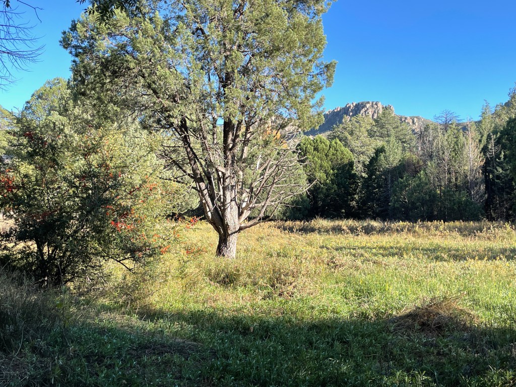
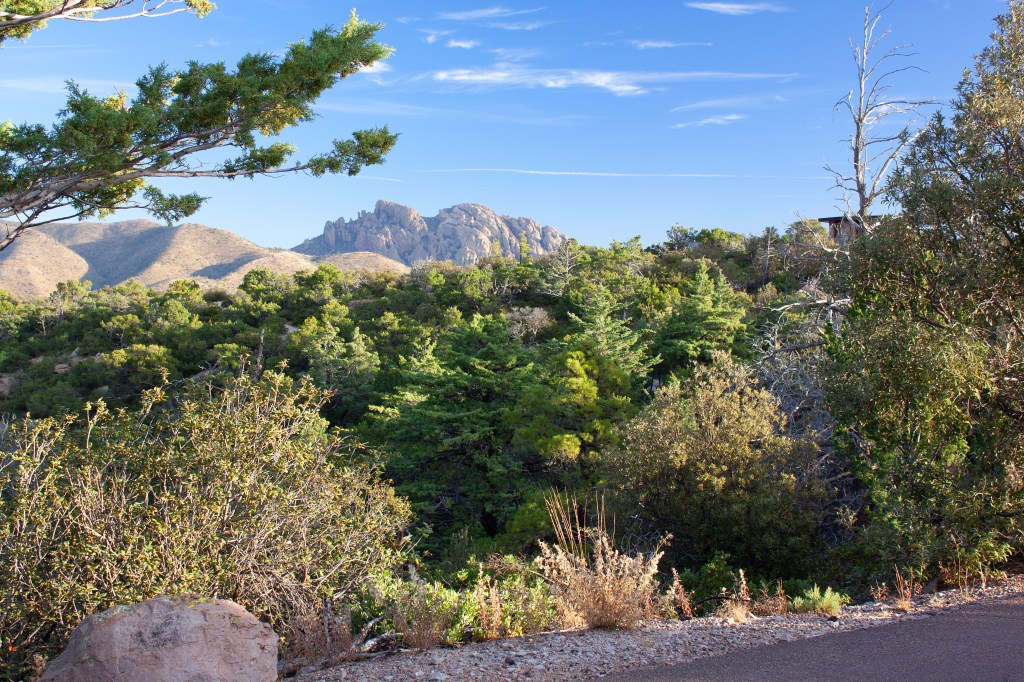
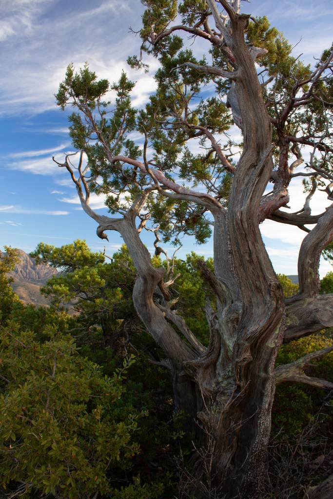
The Chiricahua mountain range is described as an island in the desert. I would agree with that. You cross the desert to get there and then suddenly enter a narrow canyon where of all things, there are Oak and Sycamore trees rather than Mesquite and Cactus. There is a creek, but most of the time it is dry. When I was there, a small trickle of water was visible. Occassionally there is a deluge of water as evidenced by the sand bags piled around the campground restroom build, to divert overflowing runoff back into the creek. The canyon bottom is shaded and cool.
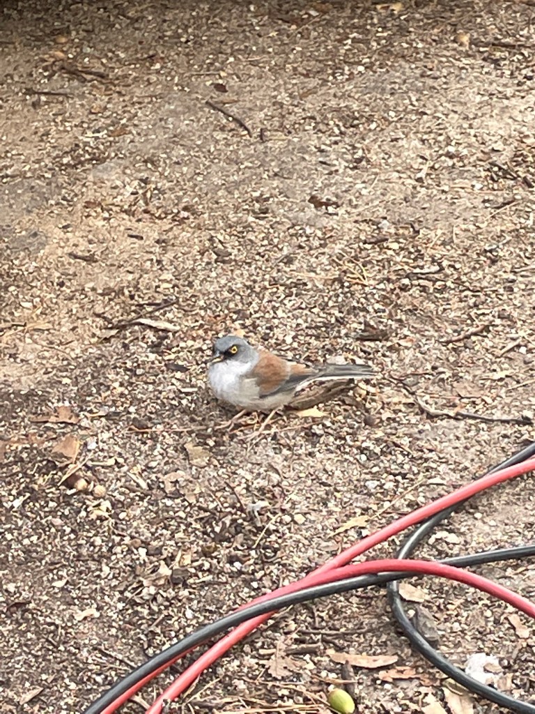
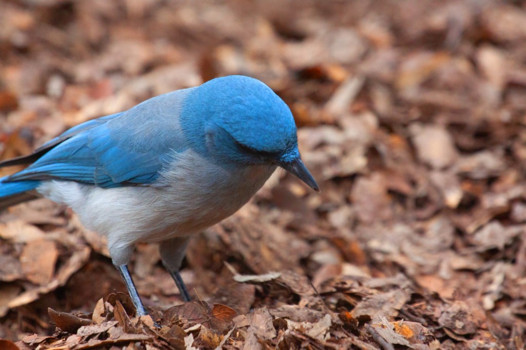
I set up in site number 8, surrounded by chittering Acorn Woodpeckers, busy hiding acorns in every nook and cranny. The blue and gray Mexican Jays also dropped by, just in case I was eating and dropped a crumb or two. The campground hosts stopped by to offer me “reverse” trick or treat candy. I noticed that the Sycamore leaves had turned bright yellow for autumn, but the oak leaves were still green. I ask them when the Oaks turned colors. They said the elevation and cool canyon gets them confused, so their leaves don’t change until spring, are just brown, and new green ones then start budding within days. I knew how they felt when my son in Colorado sent me a photograph of his yard with 3 inches of snow. I was still wearing shorts and t-shirts. I think I will wear them until April, then will get out my warm pants a heavy coat, wear them for 2 or 3 days, and then jump back into the shorts and t-shirts.
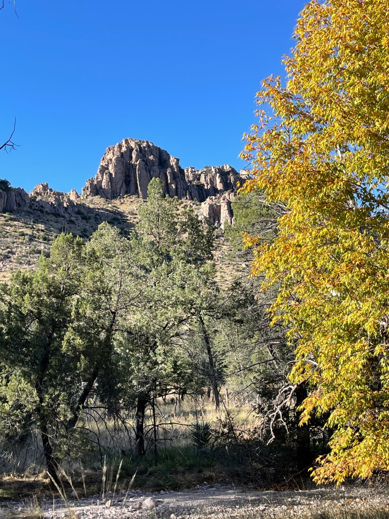
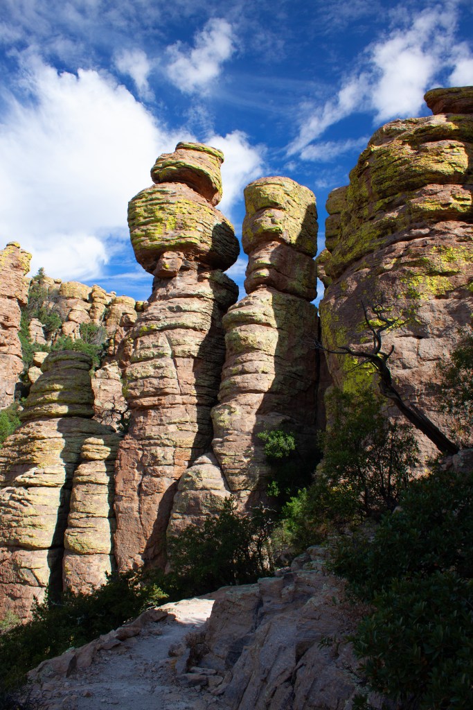
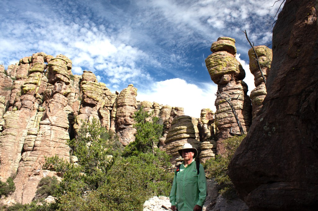
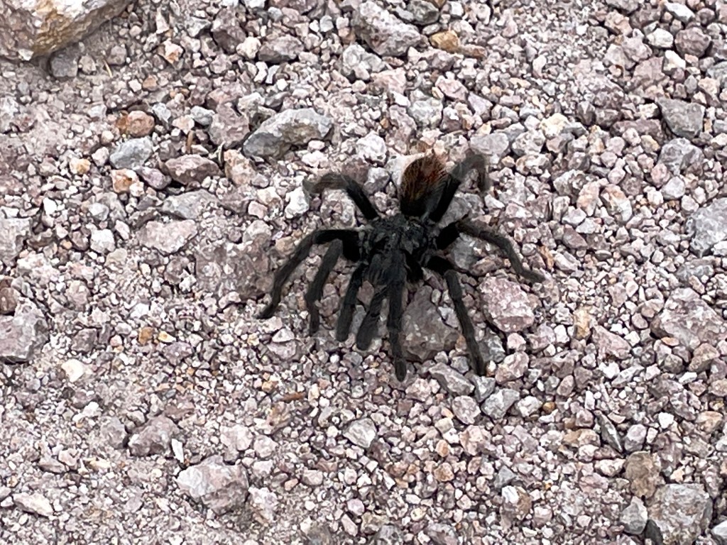
The next morning, I caught the shuttle van for a trip up the park road to the 8000+ foot trailhead for Echo Canyon Trail. I hiked the trail 5 miles back down the secluded canyon to my campsite. On the way I passed through towering rock formations and hoodoos made of weathered Rhyolite, left from a volcanic explosion to the south. I saw Mexican Jays, small 3-4 inch lizards, a few Arizona Whitetail deer, and one Tarantula. The spider was slowly crawling up the middle of the trail. Perhaps it stayed to late at a Halloween party the previous evening and decided to head home the next morning. I followed the unwritten rule of downhill hikers standing to the side of the trail until uphill travelers have passed.

Near the end of the hike, I passed the Visitor Center, received my pin for finding and taking a photo of Groot (Guardians of the Universe), and then crossed through a shaded wood near the campground. There I spotted a troop of Coatis searching for food in the undergrowth.

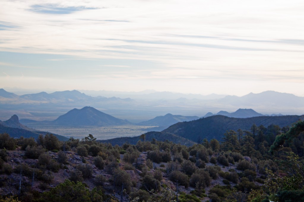
On the last day before leaving, I hiked to Sugarloaf Lookout, taking the popular photograph of Cochise Head. This mountain range had been frequented by Apache leaders Cochise and Geronimo in the 1800s. From the lookout, I could see several small mountain ranges to the west, up to 100 miles away. I could also discern the many tractor trailer rigs on Interstate 10. I would be joining them the next day.

Always delighted to hear about your adventures and see the spectacular views. Thanks for sharing. Stay safe!
LikeLike