October 17th to 20th, 2022
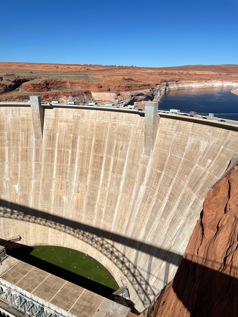
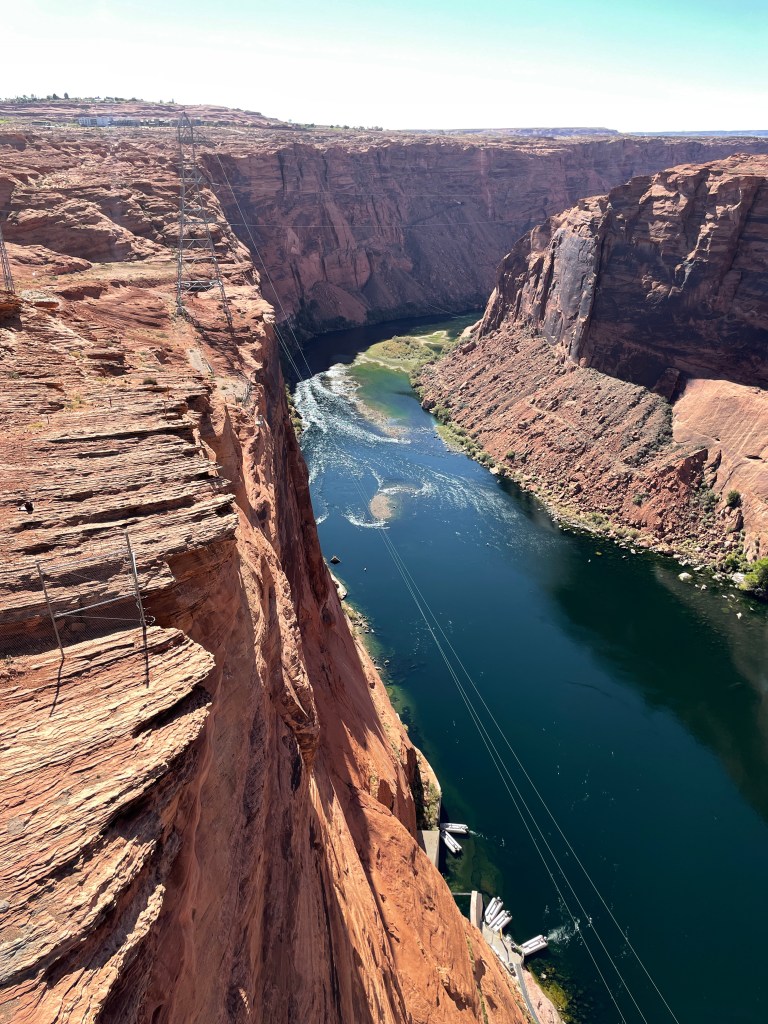
It was still warm enough at night to stay in the Zion NP area, but I was tired of the crowds and needed to empty the trailer tanks. I decide to continue on the way to my “wintering grounds” further south in Arizona. At sunrise, I left Hurricane Ridge, passed through La Verkin and turned southeast on Highway 59 to Colorado City just over the Arizona border. There I crossed the Kanab Plateau to Fredonia and arced back up to Kanab, Utah. I paralleled the Arizona border on Route 89 and made my final crossing into Arizona just north of the Glen Canyon Damn. I was back along the Colorado River, above Marble Canyon and a little further downstream, the Grand Canyon.
I didn’t realize how long these canyons were, until it occurred to me that I was making an all day drive. I turned southwest at Page, Arizona and eventually veered westward to the South Rim of the Grand Canyon, passing through the National Park. It was late afternoon before I found my next campsite, just south of the Grand Canyon entrance station, next to the small town of Tusayan.
My son, Tyler often calls on his way home from work back in Colorado, at about 4:15 p.m. After speaking with him, I noticed he had called an hour early. Then I also noticed that while my Garmin watch said 4:30, my iPhone said 3:30. A quick online check revealed that while Arizona is in the same time zone as Colorado, Arizona does not observe daylight savings time. So 3:30 was the correct time.
I had been traveling through relatively warm Utah. I new it was autumn back in Michigan, but autumn never took hold until that evening, when it was dark at 6 p.m. It seemed more like November, since that is when Michigan went back to standard time and the days suddenly seemed short. I felt like half of my afternoon had been stolen. My evening sleep schedule was totally disrupted. I think I slept for 11 hours that first night.
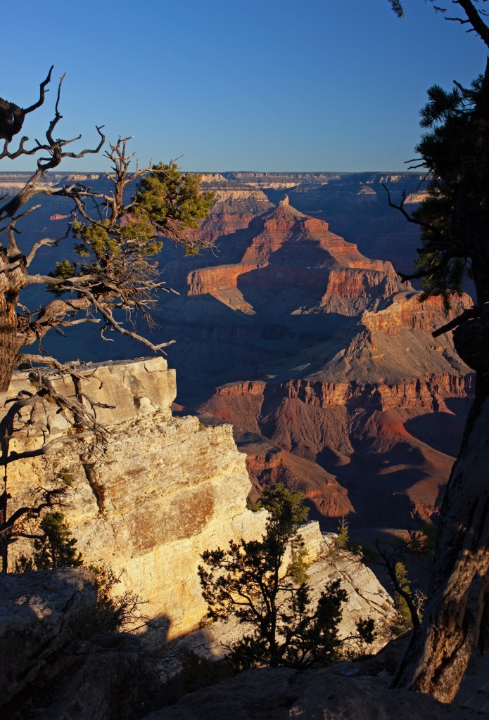
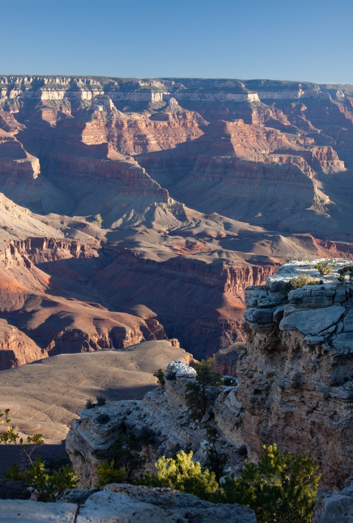
Regardless, I was up at 6:00 a.m. to have breakfast and drive into the National Park for a hike along the South Rim Trail. Everybody will tell you, no matter how many photos you have seen, nothing prepares you for your first view into the Grand Canyon. You walk through the Juniper forest, and then it is there. Rather, it is not there. Nothing is there but a vast air filled rock ditch in the earth. As the sun rose, I saw deep orange red terraces and layers of rock with dozens of side canyons still in shadow. The trail on the rim, in many places is an acrophobic’s worst nightmare.
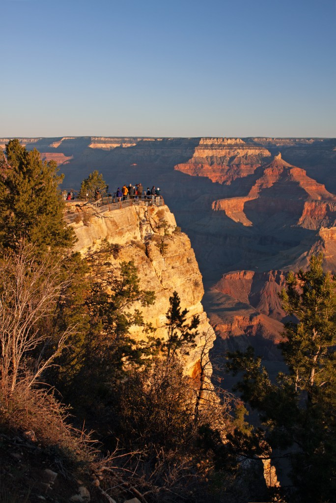
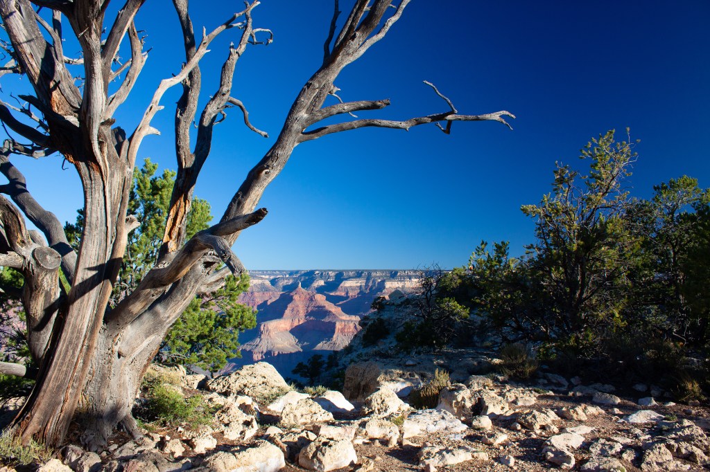
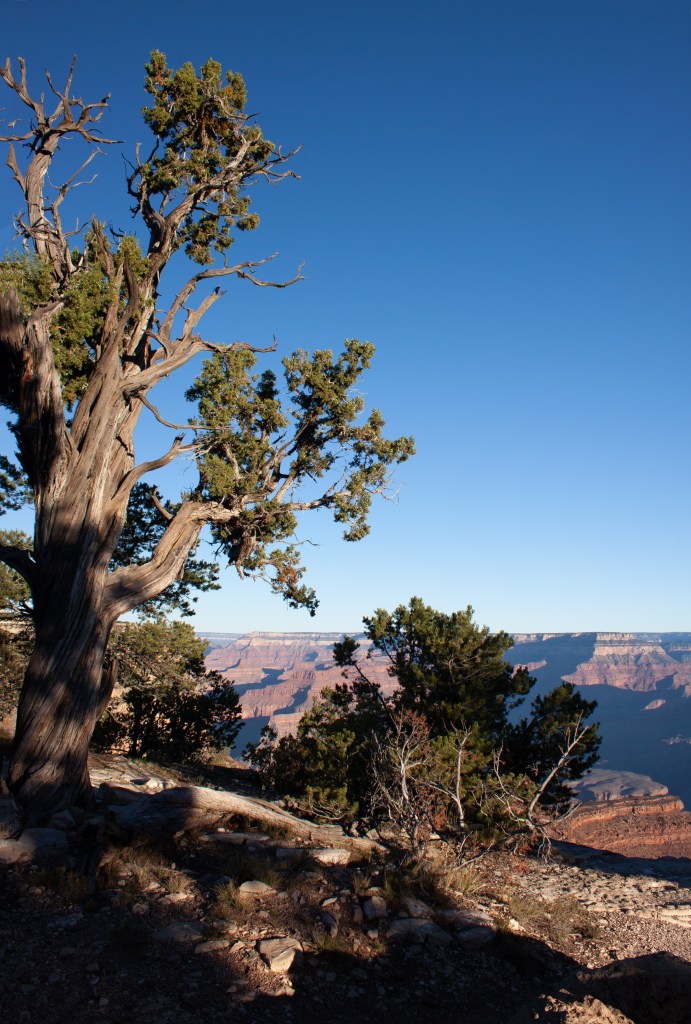
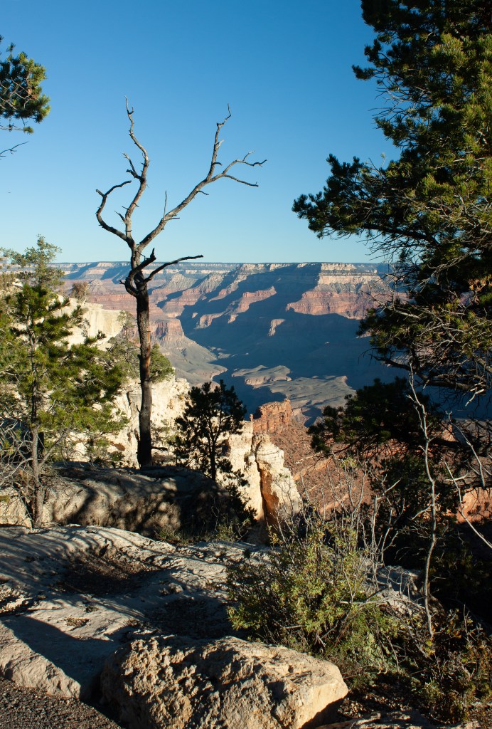
Visitors gathered at viewing points along the rim. Many of these are concrete platforms with chain link fence protection from the sheer drop offs. But, between these points, the trail just meandered along the cliffs. Young people, looking for the perfect selfies strode out on a boulder or outcrop, often jumping into the air with arms outstretched as the exposure was made. This made me think of a recent article I read about the IQ Bell Curve. I could not help but think, Grand Canyon National Park is one of those places that help keep the lower end of the bell curve from becoming too fat.
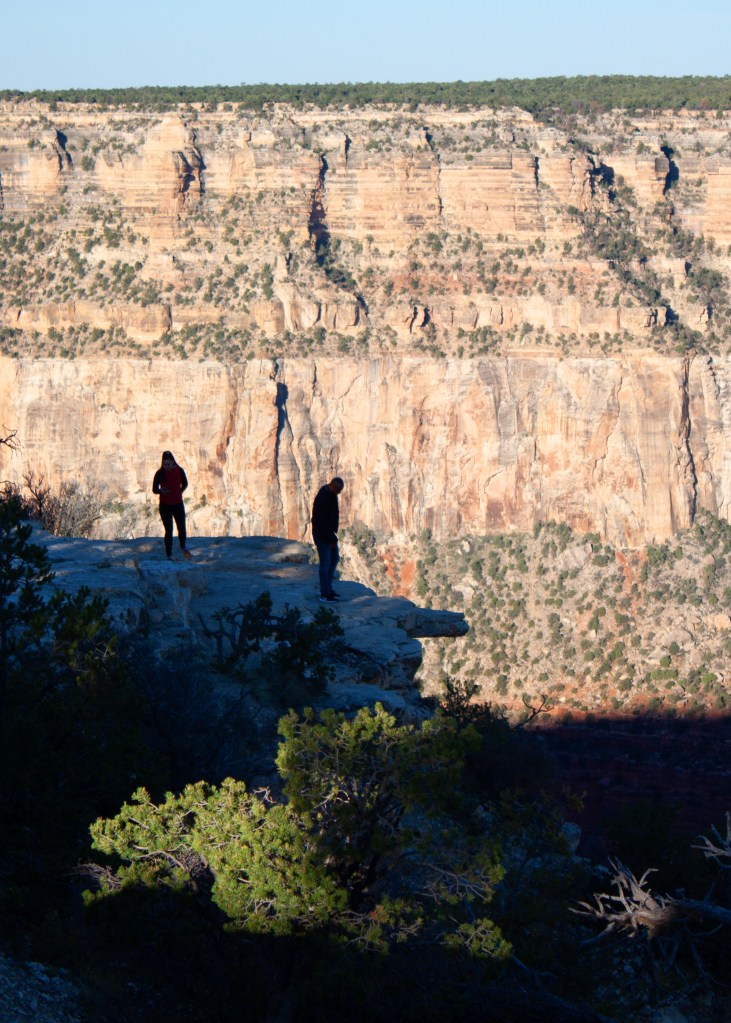
I took a good number of early morning photographs, but when walking, I stayed to the “safe” side of the trail.
While camped near the canyon, with a higher elevation than the surrounding desert, the cold freezing nights again caught up to me. So, after 4 days, I hitched up in the evening and started the next leg of my trek to the south, the following morning.
Next: Skirting around Phoenix to Payson, with a visit to the crater where Star Man, also known as Jeff Bridges, was rescued by his alien friends.
